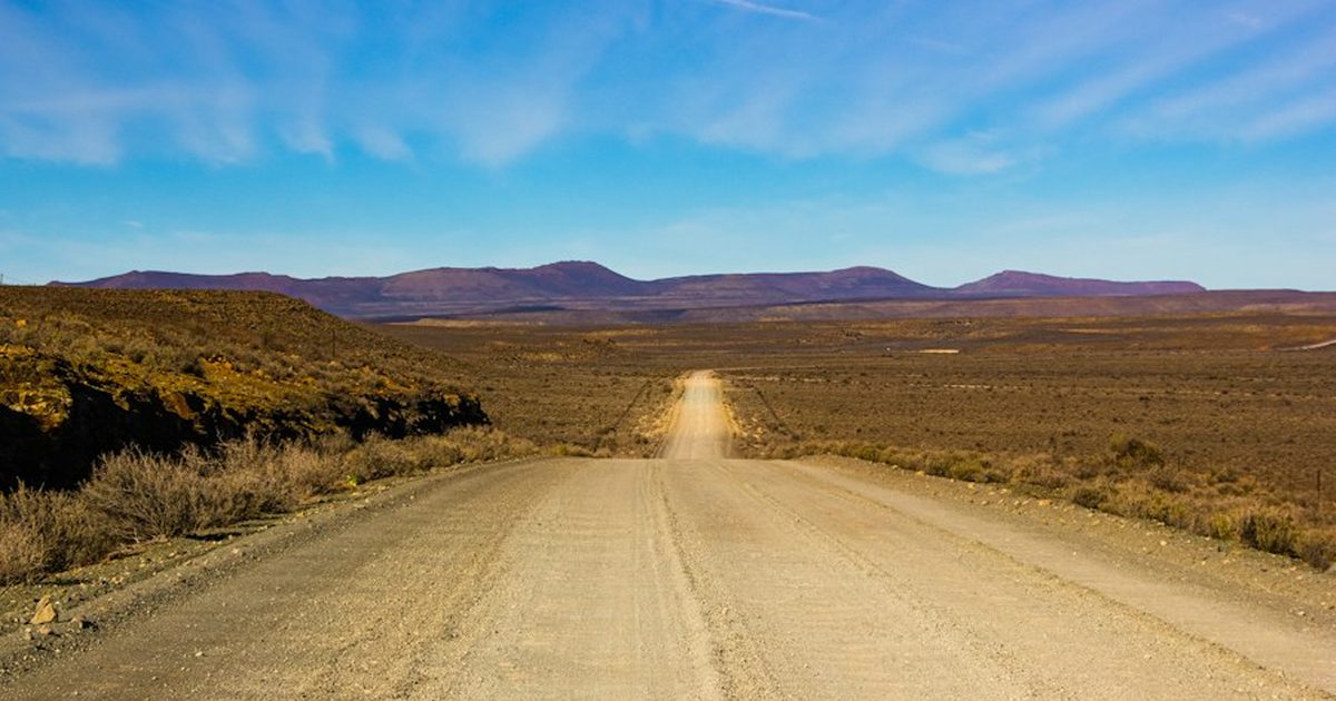
The parcel checked every box. Power was two miles out, the substation had capacity, the county zoned it heavy industrial by right, and the price was a fraction of anything closer to a metro area. The buyer’s counsel ran the title search, the environmental consultant cleared wetlands and species, and the deal was two weeks from closing when a surveyor pulled the plat and asked a question nobody had asked yet: who owns the half-mile of dirt between the parcel and the county road?
The answer was the Bureau of Land Management. The access easement the seller had been using for forty years had never been recorded, because the seller’s family had simply driven across BLM land without anyone objecting. That is not a right of way. It is a trespass that nobody enforced, and it conveys nothing to a buyer. Getting a real right-of-way grant across that strip meant a federal application, an environmental review, and a timeline measured in months to a year or more — not because anything was wrong with the land, but because the road to it belonged to the public.
This is the piece of rural siting that looks like a formality until it is the only thing standing between a signed purchase agreement and a usable site. It deserves the same upfront attention as zoning and environmental permitting, and it runs on its own, slower clock.
Three Kinds of Ground, Three Different Processes
Rural siting usually treats “the land” as one category. For access and utility corridors it is useful to split it into three, because each one is controlled by a different authority with a different mandate.
Private land is the default case covered in our guide to negotiating a land lease or purchase. The owner can grant an easement by private agreement, and the only clock is how fast the two sides can negotiate.
State trust land is land the federal government granted to a state at statehood, almost entirely west of the Mississippi, to be held and managed for the financial benefit of a designated beneficiary — overwhelmingly K-12 public schools. New Mexico’s State Land Office alone manages roughly 9 million surface acres and 13 million mineral acres for exactly that purpose, and most western states (Arizona, Utah, Colorado, Wyoming, Montana, Idaho, North Dakota, among others) run a parallel system. State trust land is not public land in the BLM sense and the beneficiary mandate matters: the land office’s legal obligation is to maximize return for the trust, not to balance multiple uses. In practice that usually means a surface-use lease or right-of-way easement issued through a competitive process — a sealed bid or public auction, not a private negotiation — with the lease payments and bonuses flowing to the trust fund rather than to a private seller.
Federal public land, managed primarily by the BLM (and the U.S. Forest Service for National Forest System land), operates under a completely different statute: the Federal Land Policy and Management Act of 1976 (FLPMA), which directs the agency to manage public land for multiple use and sustained yield rather than to maximize revenue for anyone. Access across it is authorized through a right-of-way grant, not a lease, and the process is built around environmental review rather than a bidding process.
What a BLM Right-of-Way Grant Actually Authorizes
Under FLPMA, codified at 43 U.S.C. § 1761, the Secretary of the Interior (through the BLM) or the Secretary of Agriculture (through the Forest Service, for National Forest land) may grant rights-of-way over the land they manage — except wilderness areas, which are categorically closed to this kind of authorization. The statute lists the purposes a grant can be issued for: water systems; pipelines (other than oil and gas, which fall under a different authority); conveyor systems for solid materials; electric energy generation, transmission and distribution; communications systems; and transportation facilities, plus a catch-all for “other necessary transportation or other systems and facilities which are in the public interest.” For a mining site this is almost always one of two things: the access road itself, or the power line running from the interconnection point to the facility.
The grant is not a sale and not a permanent easement in the way a recorded deed easement is. The BLM’s own description is that a right-of-way “authorizes specific use of parcels of public land for a specified period of time that is appropriate for the life of the project” — so the grant is tied to what you are actually building, has a term, and can carry conditions, bonding, and maintenance obligations that attach to the holder rather than to the land itself. If the project ends, the authorization is designed to end with it, not survive as a permanent private easement across public ground.
Two things from the statute are worth knowing before you assume this is a simple paperwork step. First, applicants — especially business entities — have to disclose ownership information, including the names of partners, and shareholders holding 3% or more of the entity, as part of the application. This is not a check-the-box disclosure; it is a substantive part of what the agency reviews. Second, a grant for electric transmission remains subject to Federal Energy Regulatory Commission requirements where they apply, layering a second federal process on top of the BLM’s own review for larger power projects.
Cost: Fees Scale With the Size and Type of the Crossing
Right-of-way rental is not a flat federal fee. The BLM’s published structure varies by project type: linear projects such as roads, pipelines, and transmission lines are charged per-acre rates from an annual fee schedule; renewable energy projects use a separate rate structure tied to the energy produced; communications sites use a site-based fee. For small rights-of-way under 25 acres, the relevant BLM state office sets the fee directly from the schedule. Above that size, the agency requires a formal appraisal to set the rent — which is itself a step with its own timeline and cost, on top of the application and environmental review.
The Timeline Problem, and Why It Does Not Compress the Way Zoning Does
A conditional use permit from a county planning commission can sometimes be accelerated with a pre-application meeting, a complete package, and a motivated staff. A BLM right-of-way grant is reviewed against the National Environmental Policy Act, and the depth of that review depends on what the crossing disturbs — a short, previously-disturbed access road upgrade might qualify for a categorical exclusion with a comparatively fast internal review, while a new road or power corridor through undisturbed ground, or ground with the kind of species and cultural sensitivities covered in our guide to protected-species surveys, can trigger a full environmental assessment with public comment. Unlike a missed biological survey window, there is no hard seasonal lockout here — but there is no expedited lane either. A federal land manager with a fixed staff and a queue of applications does not move faster because your closing date moved up.
The honest comparison, stated without inventing numbers for any of it:
| Ground type | Who controls access | Process | Primary driver of timeline |
|---|---|---|---|
| Private land | The landowner | Negotiated easement or lease | How fast both sides agree |
| State trust land | State land office / land board | Competitive lease, sealed bid or auction | The office’s bidding calendar |
| Federal public land (BLM/USFS) | Federal land manager | FLPMA right-of-way grant with NEPA review | Depth of environmental review required |
None of these is categorically worse than the others — a state trust land lease can close faster than a complicated private negotiation with multiple heirs, and a short categorical-exclusion BLM crossing can move faster than a contested county variance hearing. The point is that each one is governed by a different clock, and a diligence period written for one does not automatically fit the other two.
A Hypothetical Walk-Through, With Round Numbers
These figures are a hypothetical worked example to illustrate the mechanism, not a quoted cost for any real crossing — actual rental schedules and review scope have to come from the specific BLM state office or land board involved. Say a facility needs a half-mile access road and a parallel power line crossing a strip of BLM land to reach an otherwise private parcel. The crossing is a linear right-of-way, so the rental is calculated per acre disturbed rather than as a flat fee: a half-mile road at a 60-foot easement width works out to roughly 3.6 acres (2,640 feet × 60 feet ÷ 43,560 square feet per acre), multiplied by whatever the current linear-project per-acre rate is for that BLM district. That rental is a small, recurring number next to the site’s power and construction budget. The number that actually controls the deal is not the rent — it is which environmental review tier the crossing falls into, because a categorical exclusion for a previously-disturbed route and a full environmental assessment for virgin ground sit months apart on the calendar, and no amount of extra rent buys a faster tier.
Compare that to a state trust land scenario: the facility itself sits on 40 acres of state trust land rather than private ground. Instead of a rental schedule, the land office runs a competitive process — a sealed-bid or public auction — and the winning bid becomes the lease payment. The timeline driver here is not environmental review but the office’s own auction calendar: if the next scheduled auction cycle is months away and the parcel has not already been queued for one, there may be no faster path than waiting for the cycle, regardless of how much the operator is willing to pay.
How to Find Out Which Kind of Ground You Actually Have
This is discoverable before you sign anything, and it is cheap relative to discovering it after.
- Pull the parcel’s legal description and check it against the county assessor’s ownership record for every parcel the access route or utility corridor crosses — not just the parcel you intend to buy.
- Where a route crosses unowned or unfamiliar-looking ground, check the BLM’s public land records system for the managing field office and land status.
- Where the state is a western state with a significant trust land estate, check that state’s land office or state land board records directly — trust land is not always obvious from a county plat, and it is commonly checkerboarded with private and BLM parcels in the same square mile.
- Ask the seller directly whether the existing access has ever been the subject of a recorded easement, and get a straight answer about how long they have used it and on what basis. “We’ve always just driven across it” is the single most common way an unrecorded federal or state crossing surfaces late.
- If a BLM or state crossing is confirmed, contact the relevant field office or land office before writing an offer, not during the inspection period, to get a realistic read on what category of review your specific crossing will need.
What This Should Do to the Purchase Agreement
The fix is almost entirely contractual, and it is the same discipline that applies to the species-survey and wetland-permit timelines covered elsewhere on this site: write the diligence period to match the slowest real clock on the deal, not the fastest one.
- Identify every parcel the access route and utility corridor cross, not just the parcel being purchased, before agreeing to the length of the inspection period.
- If any crossing is BLM, Forest Service, or state trust land, get a realistic timeline estimate from that specific agency before setting the closing date — and build an extension mechanism into the agreement tied to the status of that application, rather than a fixed date that assumes it clears in time.
- Do not accept a seller’s representation that “access is fine” as a substitute for a recorded instrument. An easement used informally for decades and never recorded is not an asset you can finance, insure, or rely on against a new federal field office manager who reads the statute differently than the last one did.
- Price the right-of-way rental and any appraisal cost into the deal rather than discovering it as a surprise operating expense after closing — it is a real, recurring line item, not a one-time fee.
- If the facility itself sits on state trust land rather than private land, confirm whether the lease is assignable and what happens to it on a sale of the business, since a trust land lease does not automatically transfer the way a private deed does.
Where This Sits Relative to the Rest of Diligence
Power, zoning, and environmental review are each their own queue, and effort and a good consultant can often move them faster. Land status is closer to the buried-utility question covered elsewhere: it is not a queue so much as a fact about the ground that either is or is not true, and the only way to compress the timeline is to find out what is actually true as early as possible and plan around it, rather than discover it during the inspection period with a closing date already fixed.
Operators who host rather than build inherit a site where this question was settled before the first container arrived. If you are evaluating raw ground now, get in touch before the inspection period is agreed, or look at hosted capacity if the faster path is deploying into a site where the access question has already been answered.
Explore Rax Mining
- Bitcoin Miner Hosting — Tiered rates from $0.085/kWh, NatGas from $0.055/kWh
- NatGas MDU Units — 1MW modular datacenter containers
- Mining Profitability Calculator — Estimate your mining returns
- Our Facility — Tour our mining infrastructure